11 November - 15 December 2010
This blog is best viewed in conjunction with Raewyn's email episode that corresponds with the same days and dates. If you don’t get that email let us know. There are a great deal more pics taken at places mentioned and places in between. At some of the locations where pics have been taken from there were geocaches. For interest these have been identified with ‘GC’. If you want to know about geocaching check out www.geocaching.com .
(NOTE: If you have any trouble with pics ‘fully showing let me know barrieb@arkon.co.nz Also if you double click on the pic it should show completely.)

Well we're off again. Only cheating a little, the start is about 2km back down the road. gc

This part of the journey really begins with a dull day at Franz Josef Glacier. gc

On one of the walks at Franz Josef was this small pond called Peter's Pond.

Complete with a resident family. There were a couple of other ducklings nearby.

The free camp site we used at Clearwater Stream was just down the road from Lake Matheson at Fox. The calm of the land, mountains and growing sky - forces at work. gc

We never did to see the famous Lake Matheson reflection as you can see from the pic the weather wasn't so good. Nevertheless the walk around the circumference of the lake was well worth it. gc


The top end of Lake Matheson was the calmest. There was a good track all the way around.

With plenty of opportunity to rediscover ones lost boyhood. Hmm, that's hard, I think it can stay lost!

Making the best of a flat light day the fence posts underscore the Fox Glacier valley.
 Further south Shipwreck Creek is well worth the stop to enjoy the walks.gc
 Through the Kahikatea forest.
 To the large sand lakes. gc
 And back past Shipwreck Beach to the car park.
 The reminder to drive safe on the remote West Coast road.
 No trip down the West Coast would really be complete if you couldn't say that you made it all the way to Jacksons Bay. The end of the road and we were to late by 15mins for the famous fish and chips! gc
 On the road to Jacksons Bay of see plenty of these big structures - whitebait stands.
 All to catch these little whitebait.
 Or if you're more into it for the art.
 Lake Hawea. gc
 Was very reflective this morning. gc
 After Hawea we stayed a couple of nights at Albertown on the Clutha before Wanaka. gc
 There were ducks everywhere....!
 This would have to be one of the most photographed scenes at Puzzling World, Wanaka.
 And most warmed.
 The lupin was in full bloom around Wanaka - oh the hayefever!
 Yes everywhere. gc
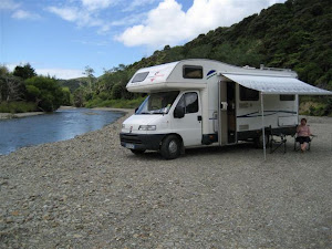
 We stayed on the shore of Lake Dunstan for a couple of days. gc
 Where some quiet times was enjoyed.
 A bit of a detour to Heriot. gc
 Where we caught up with friends at a rally.
 Another flax flower pic.
 A view of Ettrick from on high. gc
 On the way to Queenstown through the Kawarau Gorge there was a little delay as some unstable rocks were dislodged. gc
 The end of this blog takes us up the Glenorchy / Kinloch Road.
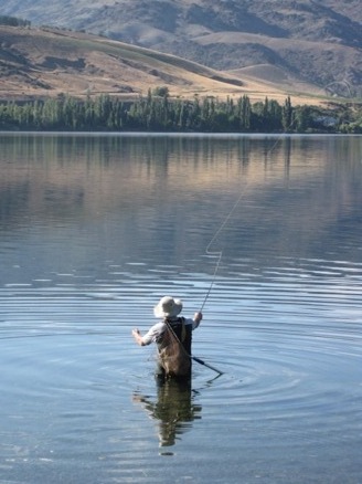
 To Kinloch for some more fishing and blobbing out.
 Beautiful mornings.
 And long lasting evenings.
Wish you were here..............!!!
Remember it's not whether you can afford to it's whether you can afford NOT TOO.




Wish you were here..............!!!
Remember it's not whether you can afford to it's whether you can afford NOT TOO.